

Places to Paddle: A Beautiful Chesapeake Creek at the Tipping Point
By Paul Fofonoff, long time AMC Potomac Chapter member and certified paddling trip leader
Mattawoman Creek is a tidal fresh Potomac River tributary just 30 miles south of Washington, but a world away. You can launch in Mattingly Park, Indian Head, MD, and paddle up the creek into a wide streamlined with green tidal marshes. Soon you pass Gravel Island and Sand Island, spoil mounds left by dredging. These are good for lunch spots (and maybe a quick swim) on your return trip. The marshes are expansive. You’ll see spatterdock with its floppy leaves of and round yellow flowers poking out of the water. In mid-to-late summer, you can find the huge, pale-yellow flowers of American Lotus in its only major location on the Western Shore. Overhead are ospreys and the occasional bald eagle, and in the shallows, blue herons, and snowy and American egrets hunt for minnows.
As you continue upstream, the creek narrows and a spooky forest of ghost trees, killed by flooding, lines the shore. There are a few beaver lodges, too. The creek gets narrower with a gravel bottom a stronger current and cooler water. If fallen trees have been cleared, you may be able to paddle up to a highway bridge (MD 225) and maybe a little beyond it before you turn around.
Paddlers will see red-bellied and Painted Turtles, hear croaking bullfrogs, and a variety of birdsongs. Even experienced naturalists are likely to see insects and plants that they can’t identify. For those of us used to salt marshes, a fresh tidal marsh is remarkable its lushness and diversity. And fishermen will cruise the waters hunting for largemouth bass and other fish. Mattawoman Creek is considered a center of biodiversity in Maryland. Its relatively clean fresh waters and relatively undisturbed shoreline forest, extensive marshes, and dense beds of submerged vegetation provide food and shelter for a great variety of living creatures.
At first glance, the shoreline of Mattawoman Creek looks sparsely developed—not many houses on the shoreline and lots of trees beyond the marshes. The lower northern shore is ‘protected’ by a Navy explosives plant. And the state has purchased a lot of land along the upper tidal and lower non-tidal creek. However, there’s fast population and economic growth in Charles County, and the towns of Waldorf and La Plata in the creek’s headwaters, and continuing friction between environmentalists and people favoring development. Studies of many bodies of water suggests that water quality declines when impervious surfaces (e.g., pavement, buildings, etc.) over more than 10% of its area. According to the Maryland Department of Natural Resources, Mattawoman’s watershed is at 6%, and each new proposed development provokes a fight. The current fight is about a proposed office park near a small airport. Certainly, we hope that the watershed stays protected, and any future development takes pace in a manner consistent with its preservation.
Environmental Links
Bay Journal: Development fight erupts over protected Potomac tributary
For Paddlers
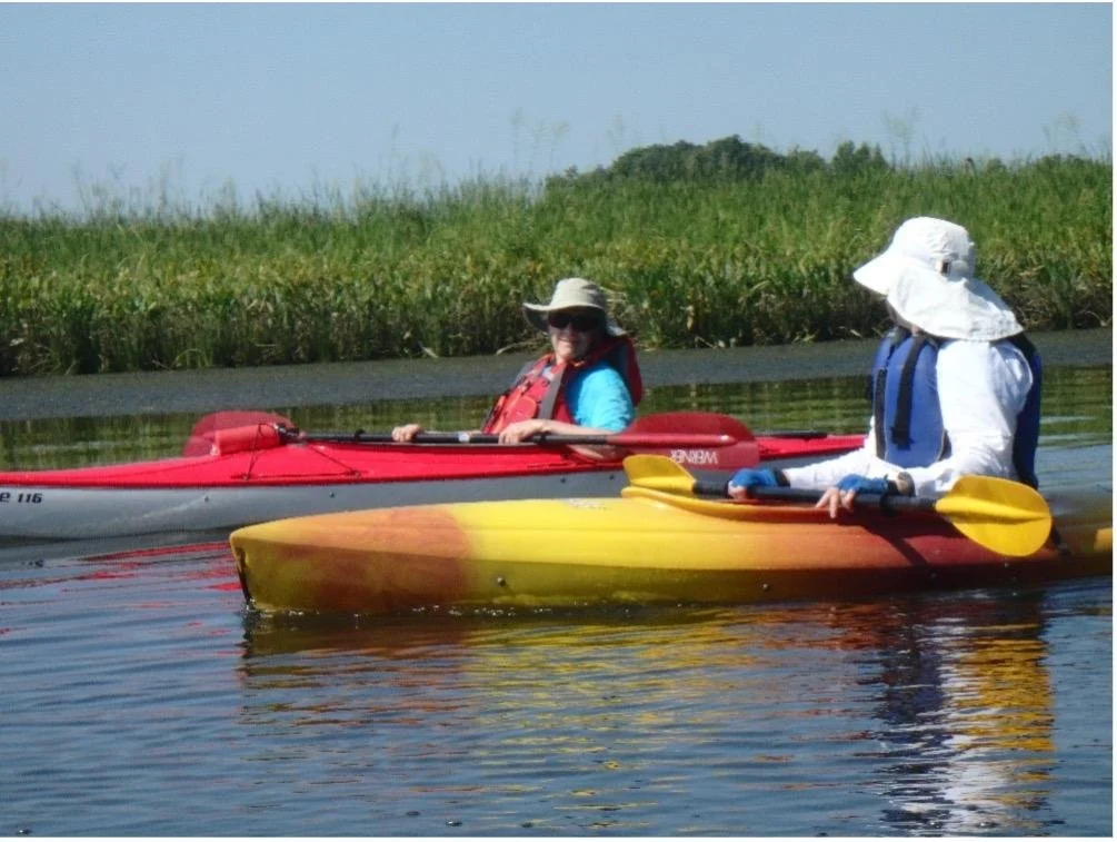
The best launching site is the boat ramp in Mattlingly Park, Indian Head. Get there early because parking is limited. Kayaks can be rented at Atlantic Kayaks Atlantic Kayak Company. The paddle up the creek from Mattingly Park is suitable for paddlers of almost all skill levels. It’s about a 5 to 6 miles on relatively sheltered water with slow currents. The upstream paddle takes about 3 to 4 hours.
I plan to schedule a trip here this summer. All paddlers must wear PFDs. Hats, shoes suitable for walking in water, and sunscreen, water, lunch, snacks are all recommended. If people have energy left and the weather is suitable, we may do an after-lunch paddle on the creek below Mattingly Park—it’s more expansive, with wide waters, islands, and glimpses of the open Potomac.